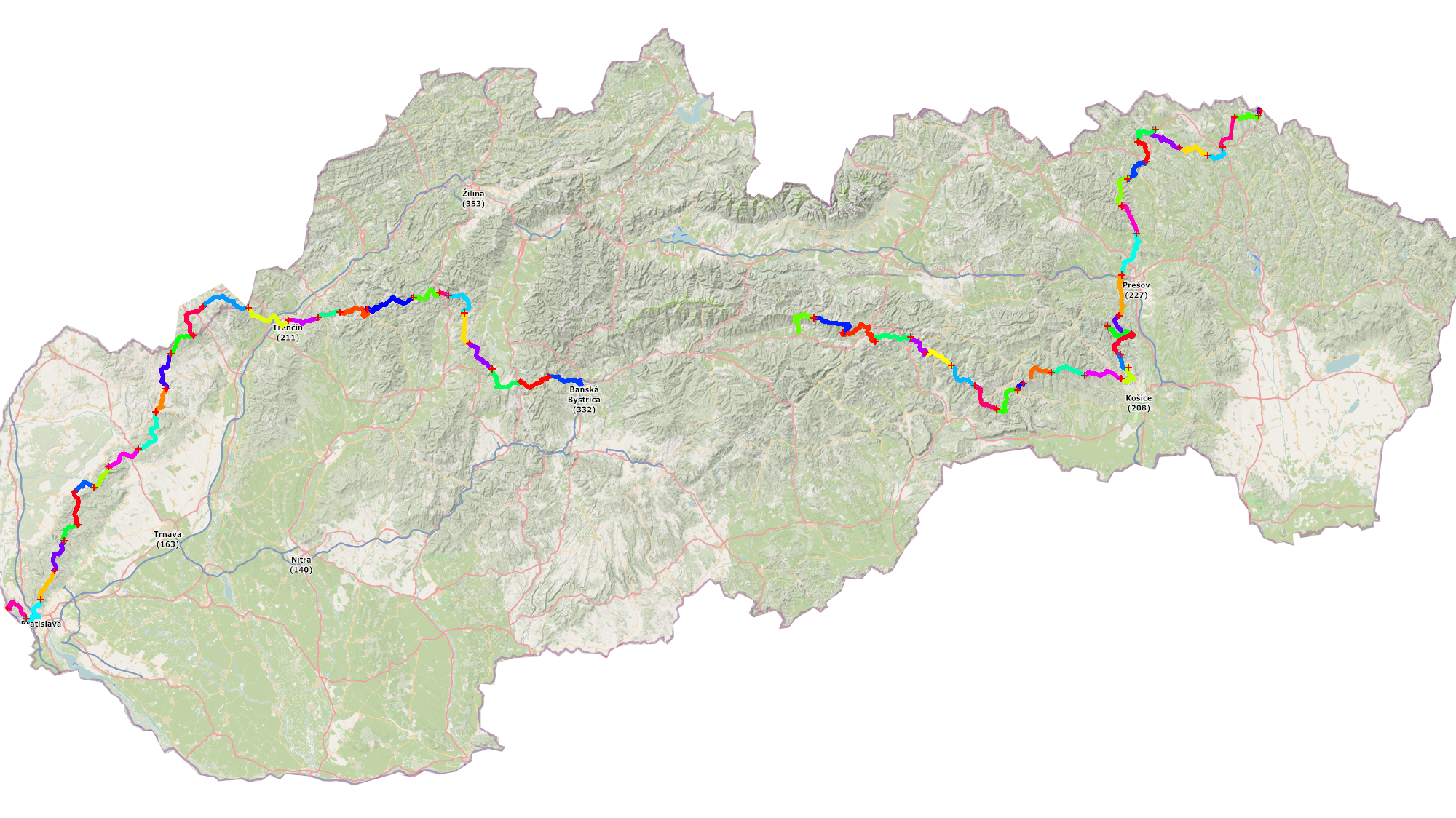
Some facts about our hiking trip with trailers through Slovakia:
- 836km and 23755 meters of elevation (according to GPS – Strava)
- 59days of hiking (70 days total)
- 14km and 400m average for a hiking day (longest day was 22.2km to Čičmany and highest elevation gain was 829m to Čergov)
- the highest point on the trip was Kráľova Hola (1946m)
- 16 days we hiked with some company for at least a part of the day (cameraman or friends)
- we skipped 15% of the SNP trail – most of Low Tatras (Priehyba-Donovaly), Veľká Fatra (Donovaly-Malý Šturec), part of Kremnické vrchy (Malý Šturec-Tunel)
- we walked 77.5% of the red marked path (different ascend to Kráľova hoľa, skipped Low Tatras, Veľká Fatra and Kremnické vrchy, Vápenná, Záruby, Vápeč, Strážov)
- from 69 nights we slept 39 nights outside in tent, 6x we paid for the accomodation, 8 nights we spent at some people who we didn’t know before the trip
- highest point where we slept was next to the hut under Kraľova hoľa (1451m)
- lowest night temperature approx 4°C and highest day temperature approx 34°C
- 12 times was raining during hiking
- 3 kids (6y.,4y.,2y.), 2 parents, 2 hiking trailers
- 1 flat tire
- 3x welding of broken trailers, 2x reparing of the brakes (discs and pads and brake fluid maintanance)
- weight loss: 6kg (Janči) and 4kg (Evit)
- 80kg total weight of the load (estimate – trailers+stuff, without children)
- most of the nights we camped we also had camp fire
- 1x we saw the sunrise
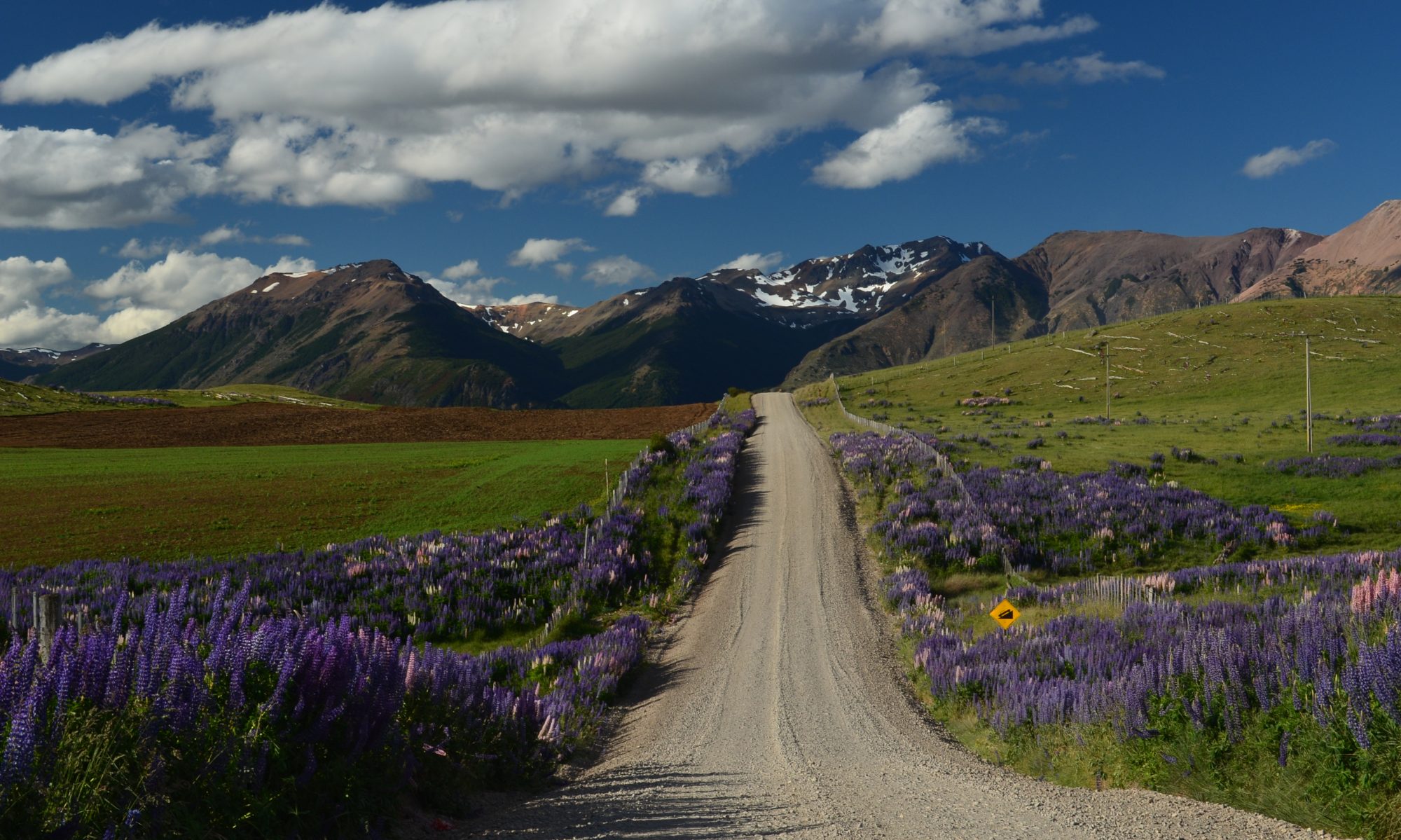
- countless beautiful places and many incredible and helpful people on the way
- once the kids were sick, one painful knee (fortunately just couple days – Evit)
- 4 pairs of destroyed shoes (2x Janko, Janči, Evit)
- more than 1TB of data (photo+video)
- 1 movie – Red route home
Some other questions you were asking were answered by Evit in this video: